Animated Map Templates for Videos
Type two cities and the plane flies the real great-circle route between them; list your stops and the road trip draws itself leg by leg. These map animations are built on real geography, so routes and borders land where they should without you placing a single keyframe.
There are globe zooms from space down to a country, territories that color in year by year for history channels, spread maps, battle arrows, metro lines and pin maps for travel vlogs. Pick 16:9, 9:16 or 1:1, change the labels and colors, and export with a transparent background to drop it over your footage.
17 templates · 16:9 · 9:16 · 1:1Open them in the library
Step-by-step guide: How to make an animated travel map video
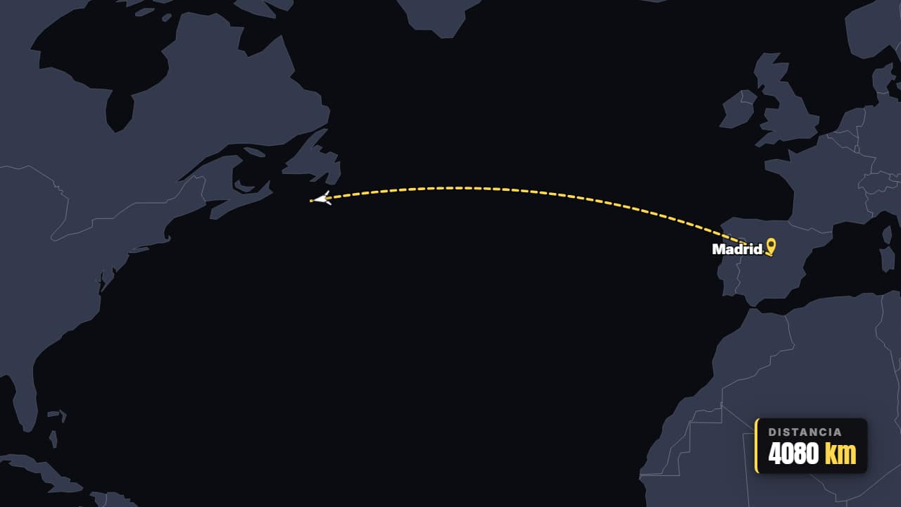 Flight A → BThe plane takes off and traces the real great-circle route between two cities, with the pins dropping and…
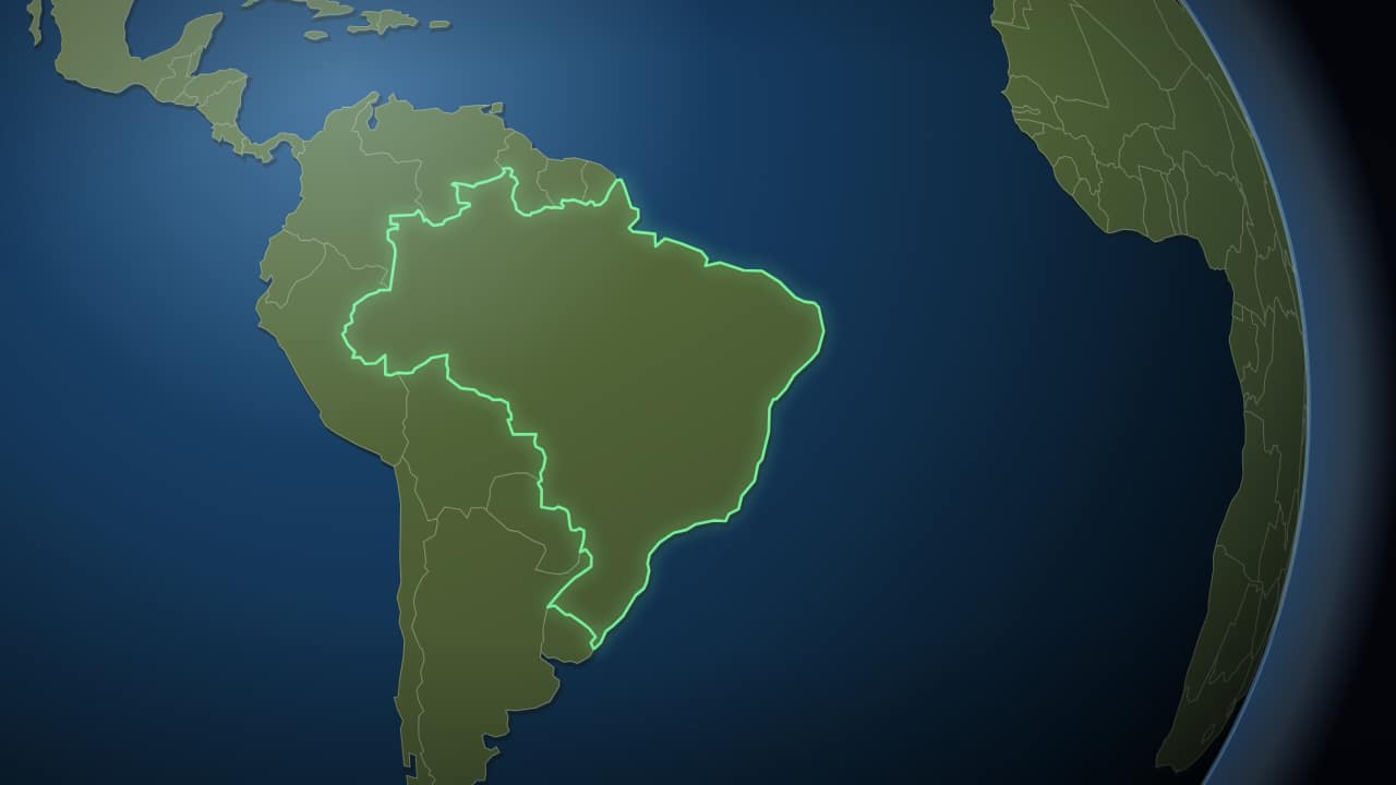 To the country, in two secondsThe same trip without the wait: the camera sets off almost immediately and lands on the country in a little…
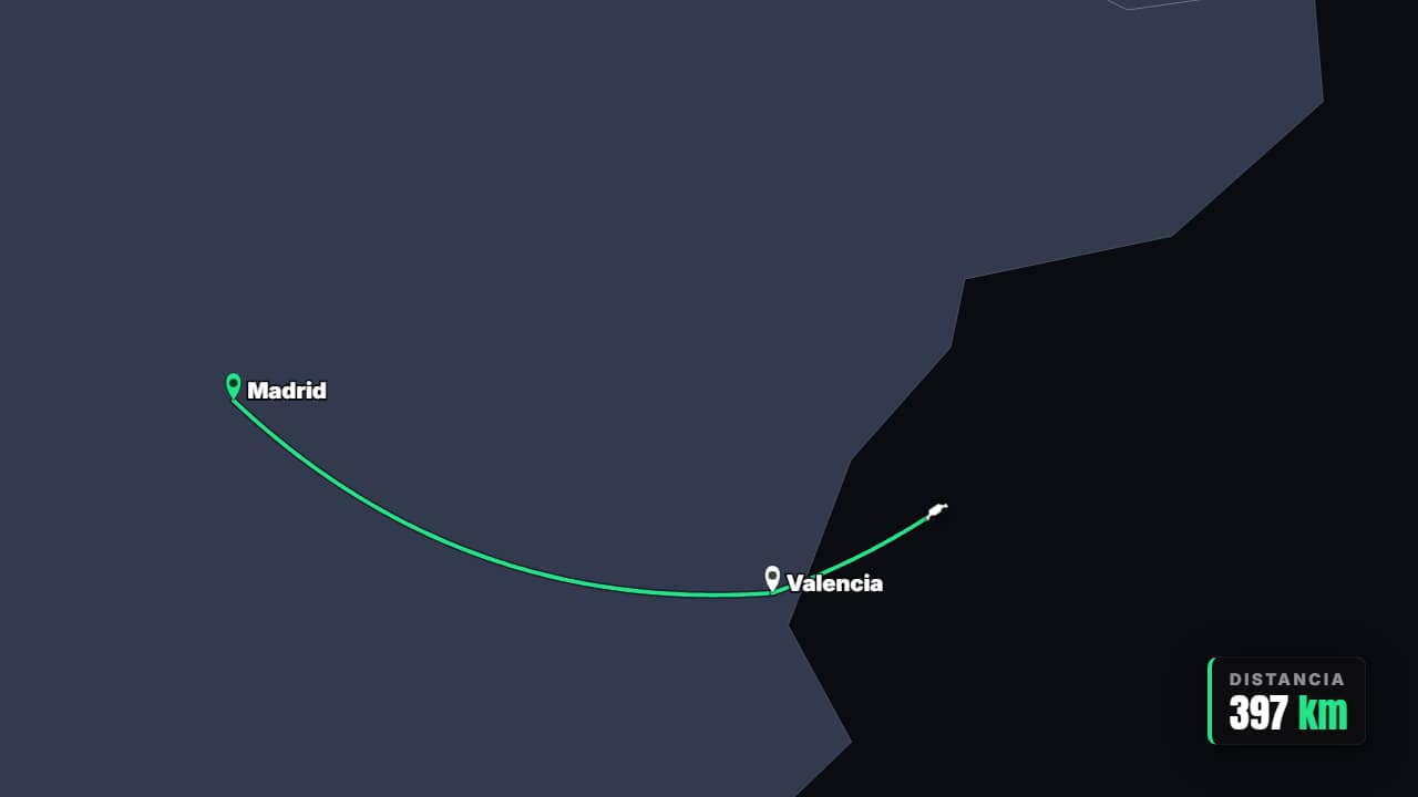 Multi-stop itineraryRoad trip or tour: the route advances leg by leg through every stop and the counter adds up the total…
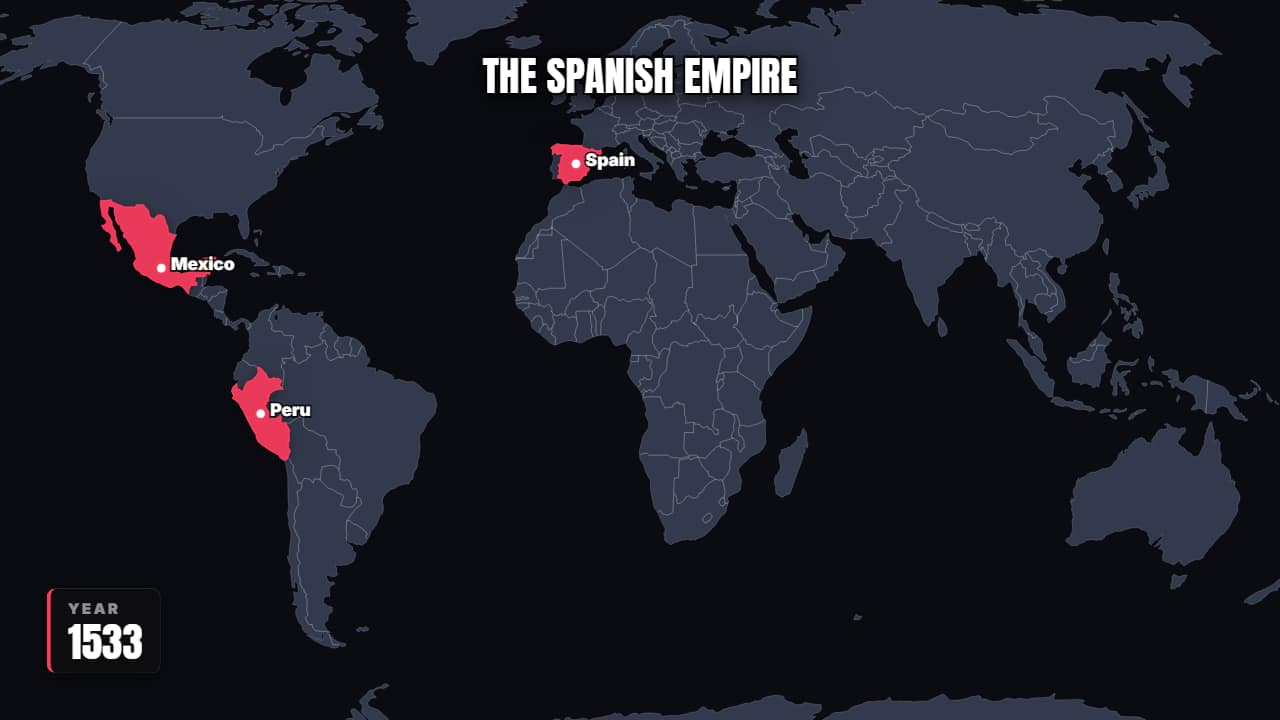 Territory that expandsThe countries color in one by one with the year counting: an empire growing, a company entering markets, an…
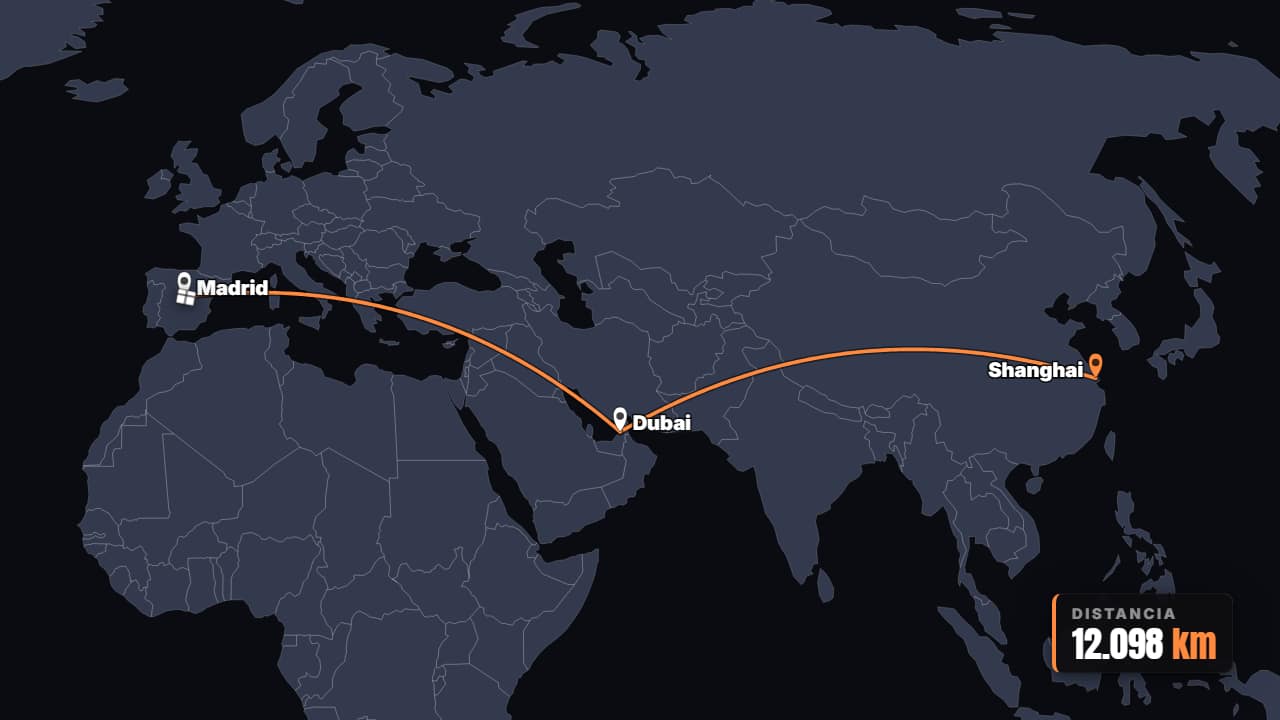 A parcel's journeyFrom warehouse to your door: the parcel hops across the map through every sorting center.
 Shipping trade routeThe ship follows the sea route with its ports marked. For history, trade, spices, oil or the Suez canal.
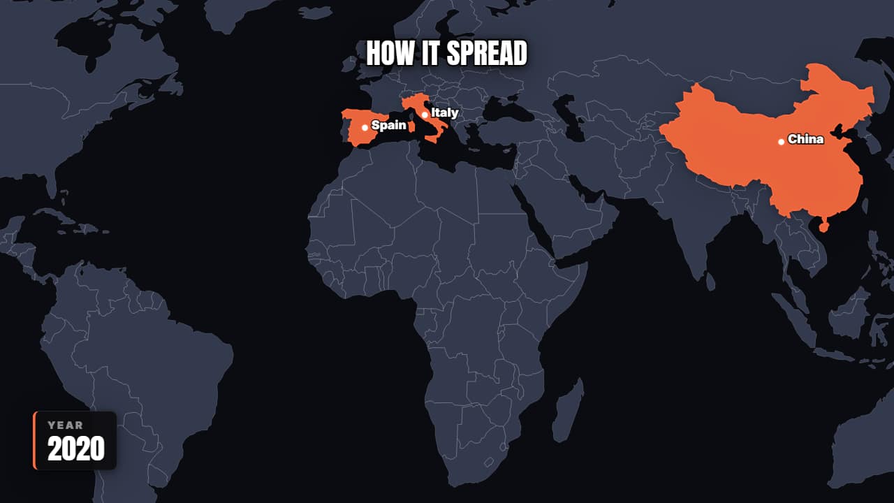 How it spreadWaves spreading from each new source while the map stains. For viruses, trends, technologies or languages.
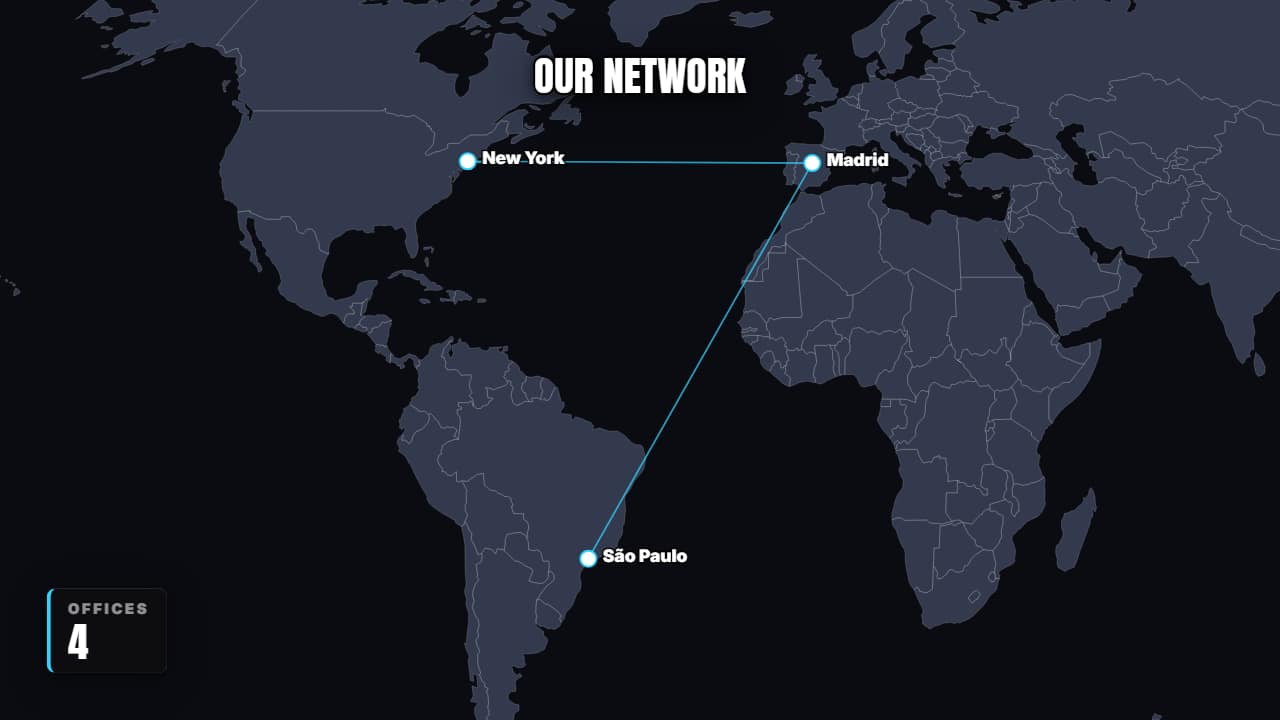 A network that growsDots connecting back to the origin until they form a worldwide network.
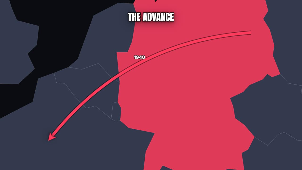 Advance arrowsThe classic battle map: thick arrows advancing one after another from the marked territory, each with its…
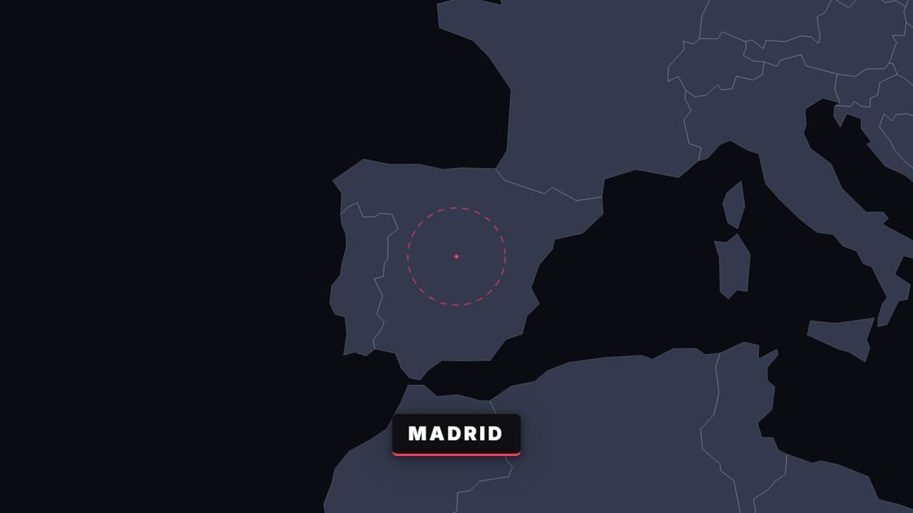 Zoom world → cityOne continuous move from the whole world down to the exact spot, with the labels changing at each level.
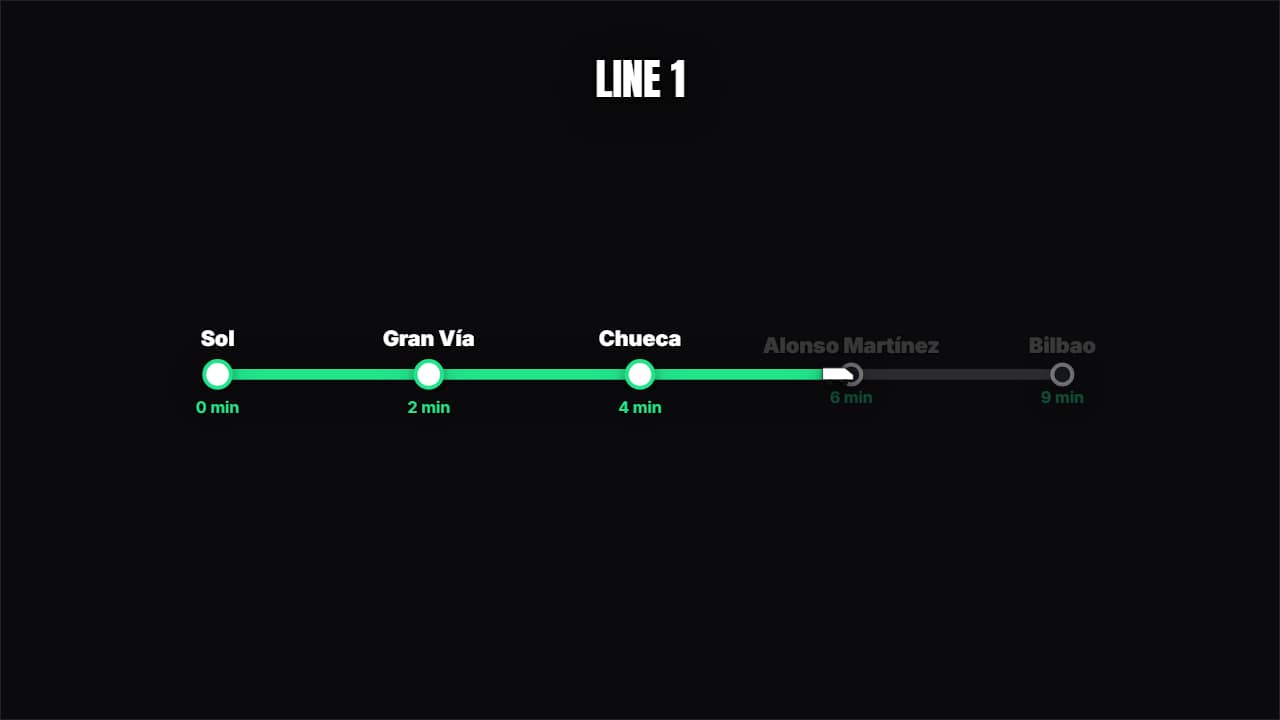 Metro line / processA schematic map with the stops marking themselves one by one as the train advances.
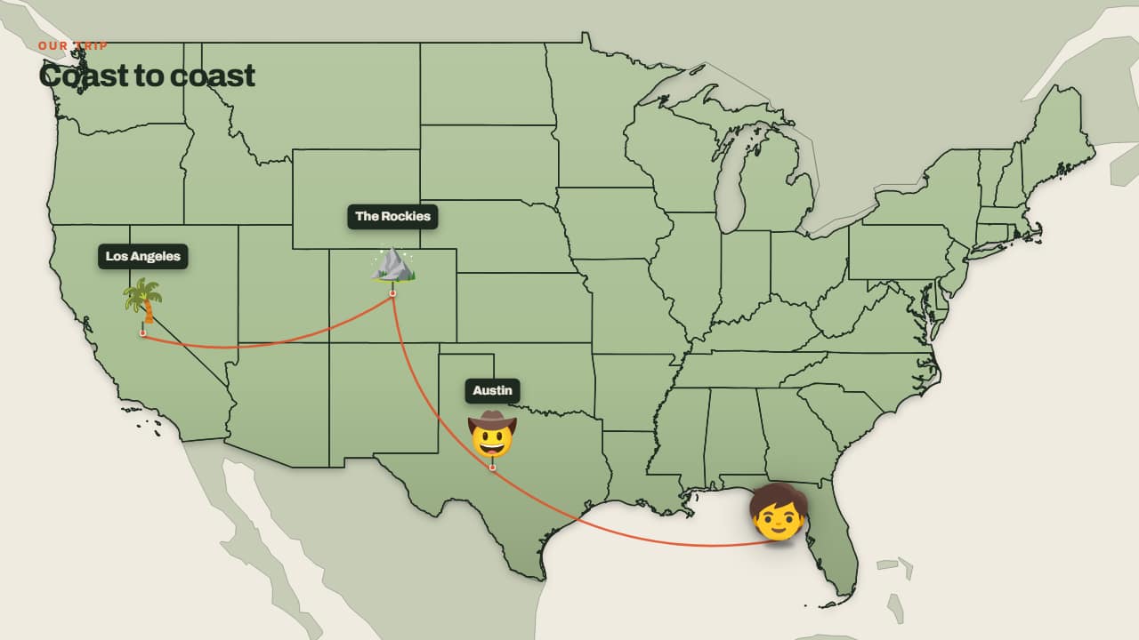 Trip across the mapThe little face walks from one stop to the next, with its hop, its shadow on the ground and the trail…
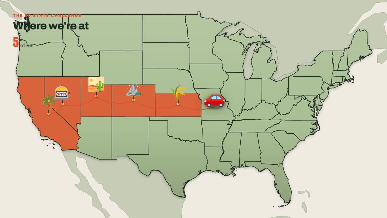 States I'm coloring inSame as the trip, but each state (or country) is COLOURED IN on arrival and the counter at the top climbs on…
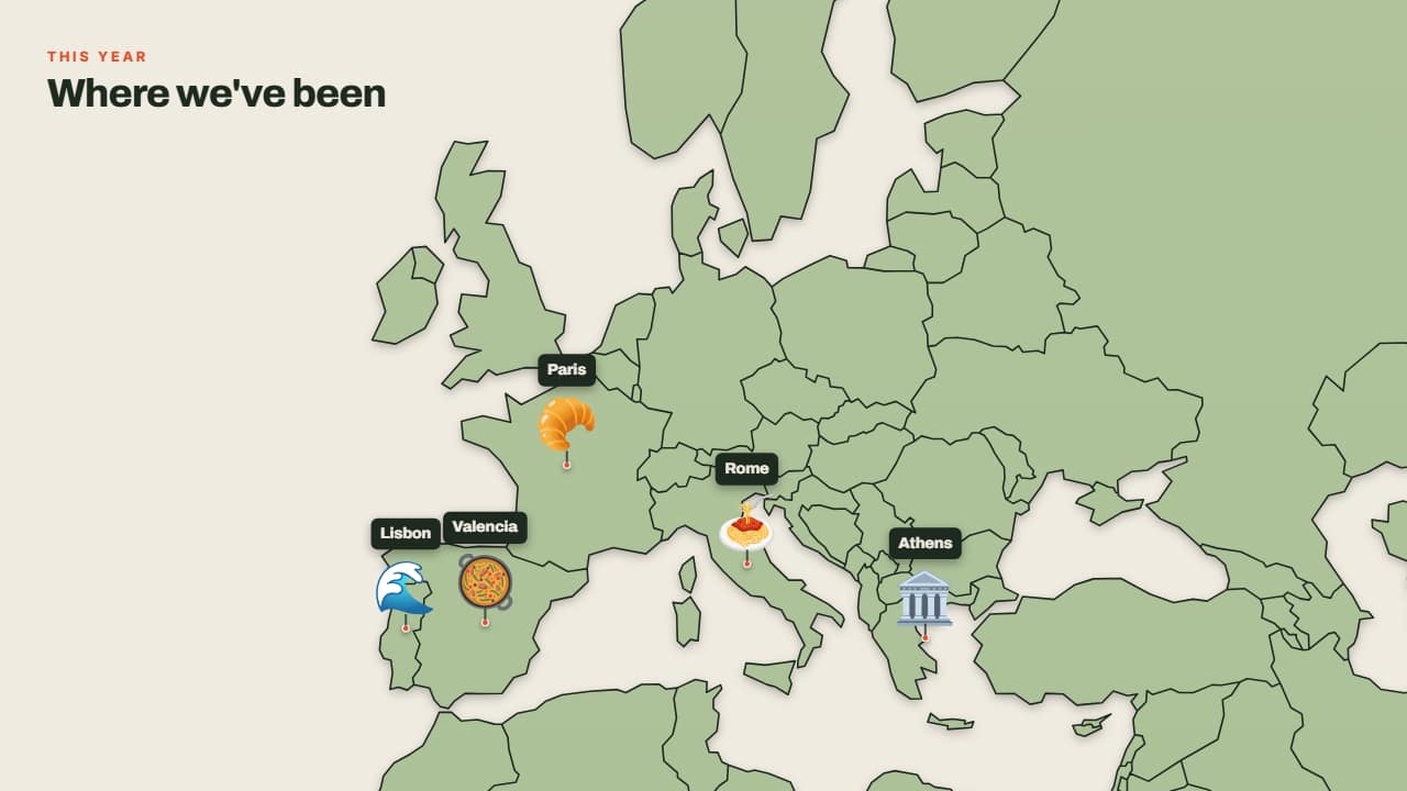 Where I've beenNo journey: the pins drop one after another onto the map, each with its emoji and its label.
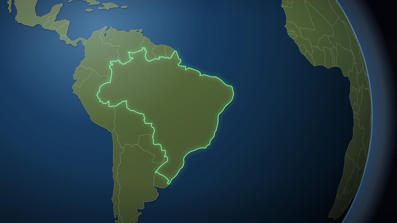 From space to your countryThe Earth small against the black, turning slowly, and then the camera pushes in to the country: its border…
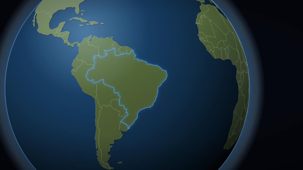 The globe, with no space behind itJust the planet, no stars and no background, to export with an alpha channel and drop over your own footage.
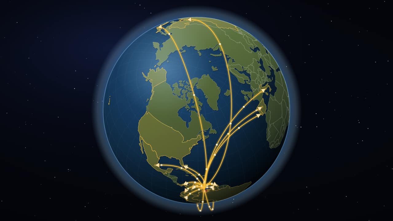 From one country to the worldThe same trip from space down to your country, and from there arcing arrows go out in three waves: first to…
Questions
- Do I have to draw the route by hand?
- No. You type the place names and the template positions them on the map and draws the route between them, including the curve of a real flight path.
- Are these maps good for history videos?
- Yes. «Territory that expands» colors countries one by one while the year counts up, and «Advance arrows» draws the classic battle map with arrows moving in order.
- Do I need After Effects?
- No. Every template is edited in your browser: type your text, choose colors and format (16:9, 9:16 or 1:1), watch the live preview and export.
- What do I export, and does it work in my editor?
- Most templates export as a ProRes 4444 .mov with a transparent background, which you place on a track above your clip in CapCut, Premiere Pro, DaVinci Resolve or Final Cut Pro. You can also export an MP4 with your own clip behind it. Always in Full HD.
- Is it free?
- Editing and previewing are free and need no account. To export you sign in with Google; during the open beta, new accounts get export credits at no cost.